Two watersheds and one consequential crossing.
Our Story
Our name begins with a crossing.
Before 1808 was our name, it was a recorded moment in a much longer story of land, infrastructure, enterprise, and reinvention.
1808
The origin of our name
Why 1808
Geography has always been the reason.
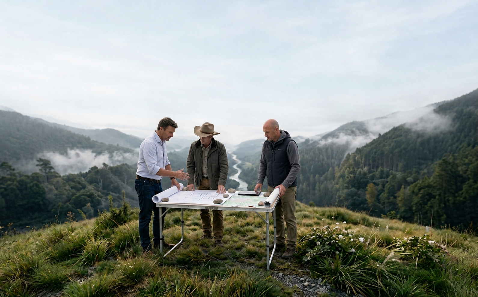
Long before it appeared on European maps, the narrow crossing between the Columbia and Kootenay watersheds was part of Ktunaxa territory. In April 1808, explorer and mapmaker David Thompson passed through and named it McGillivray’s Portage.
We chose 1808 to honour that recorded moment—and what the place represents: understanding the land, recognizing possibility, and finding the next practical use for consequential geography.
An ambitious idea gives the village its name.
Rail and timber become the community’s economic spine.
Thirty megawatts of digital infrastructure. Nasdaq-listed since 2021.
Thoughtful growth rooted in the character of place.
Canal Flats has repeatedly transformed geography into enterprise. That same respect for place guides how 1808 approaches land throughout the Columbia Valley.
The land has always held the next chapter.The record
A story grounded in place.
The 1808 date refers specifically to Thompson’s passage through and naming of McGillivray’s Portage. His establishment of Kootenae House occurred in 1807. The distinction matters—and so does recognizing the much longer Indigenous history that predates both.